3D Point Cloud Annotation Services

Transform LiDAR Data into
AI-Ready 3D Intelligence

Eyeverse provides accurate and scalable 3D Point Cloud Annotation services to help organizations develop advanced AI models for autonomous systems, robotics, and geospatial applications. Our expert annotators and advanced tools ensure precise labeling of complex 3D environments, delivering high-quality datasets for machine learning and computer vision.

Core Concept

What is 3D Point Cloud Annotation?

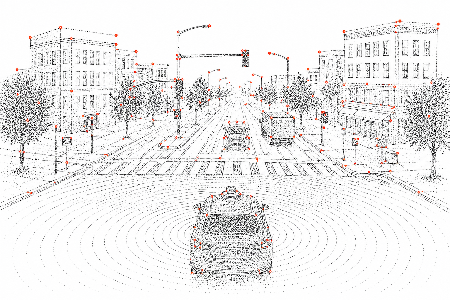
3D Point Cloud Annotation is the process of labeling and classifying objects within LiDAR-generated point cloud data. Using advanced tools and expert annotation techniques, it helps AI models understand depth, distance, and spatial relationships in 3D environments.

This type of annotation is widely used in autonomous vehicles, robotics, geospatial mapping, and other computer vision applications, often in combination with image annotation to improve model accuracy and performance.
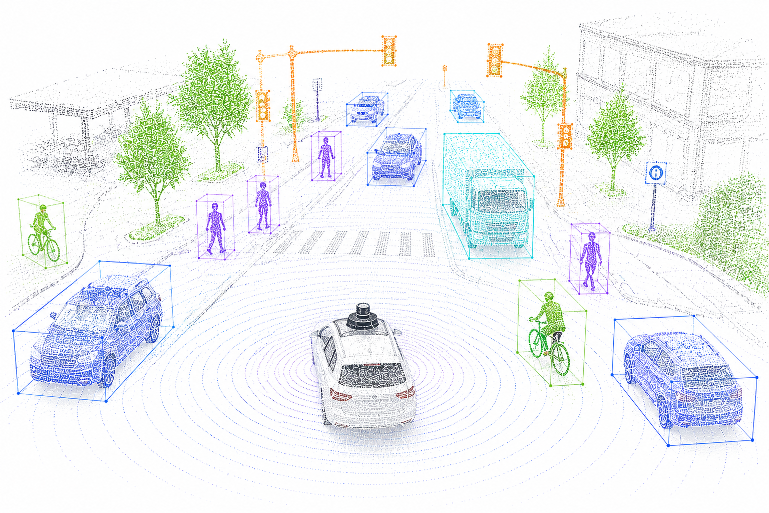
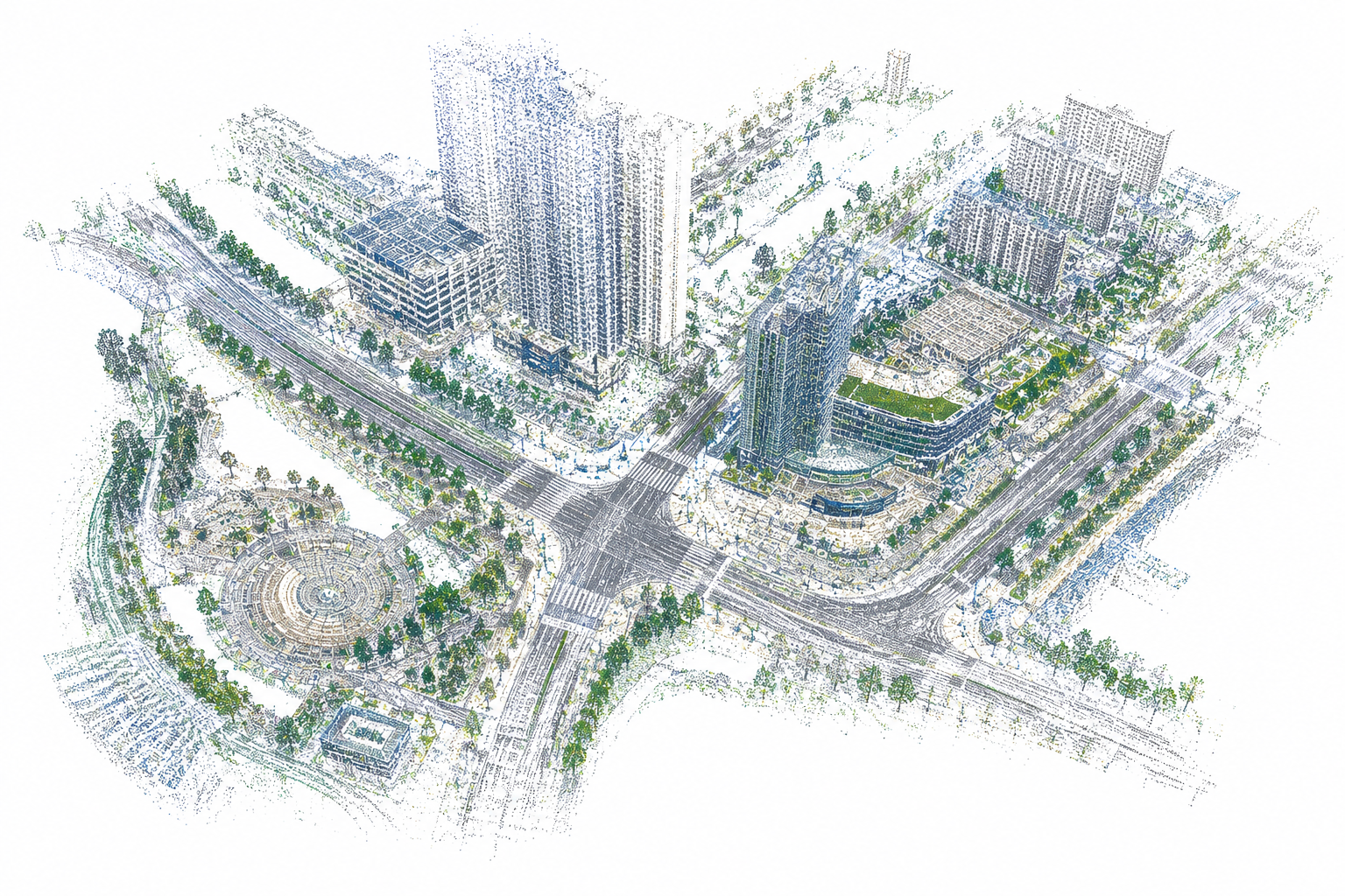
3D Point Cloud Annotation

Eyeverse’s
3D Point Cloud Annotation Solution

Eyeverse experts are trained in annotating Lidar point cloud data and bring decades of individual experience processing thousands of data points. Eyeverse provides various Lidar data labeling services that cater to a client’s project needs including semantic annotation, 3D cuboid/box annotation, landmark annotation, polygon annotation, and polyline annotation.

Eyeverse’s team provides a full-service annotation platform and builds custom automation processes for clients after calibrating their quality and throughput requirements.

Object Detection and Classification
01

Object Detection & Classification

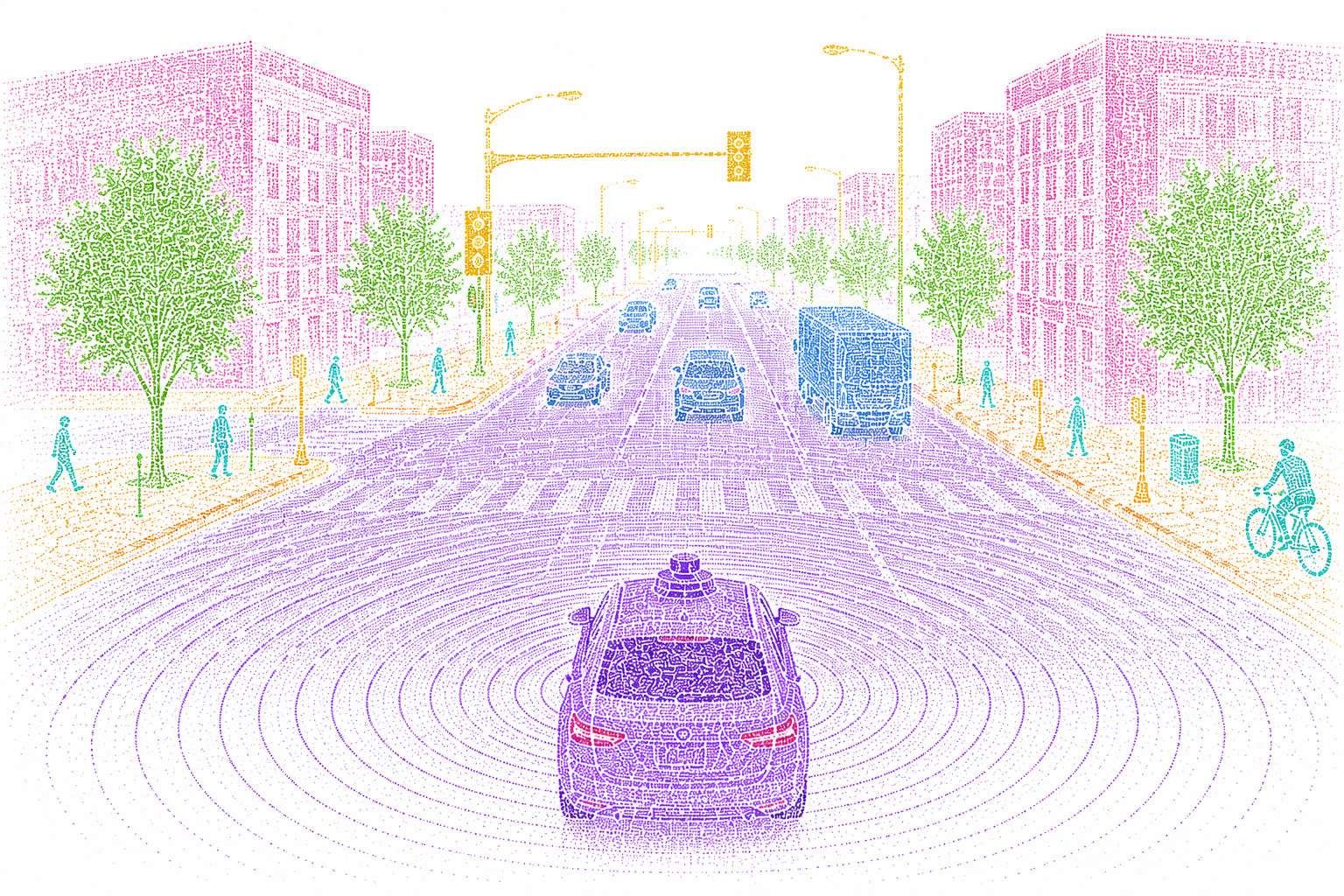
Annotating objects within LiDAR point clouds involves identifying and classifying various objects such as vehicles, pedestrians, cyclists, and infrastructure.

Applications:
  • Autonomous vehicles
  • Traffic management systems
  • Urban planning
3D Bounding Boxes
02

3D Bounding Boxes

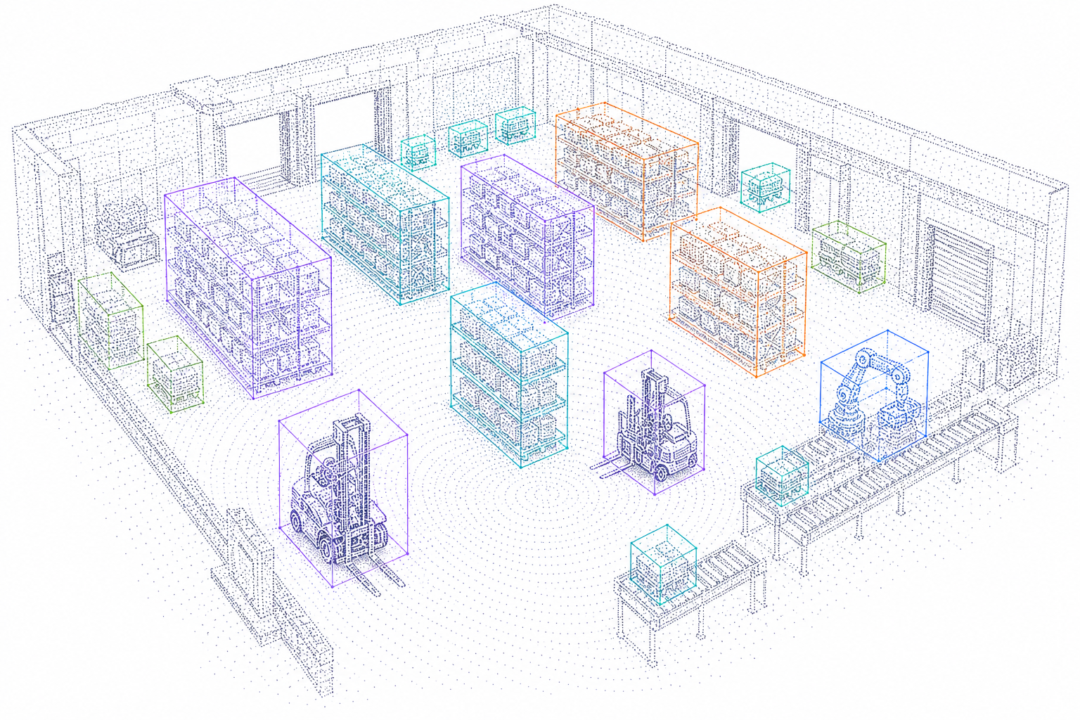
3D bounding boxes are used to define spatial boundaries of objects within a LiDAR point cloud. This helps in understanding size, orientation, and position in 3D space.

Applications:
  • Self-driving cars
  • Robotics navigation
  • Warehouse automation
Semantic Segmentation
03

Semantic Segmentation

Semantic segmentation in LiDAR data involves classifying each point in the point cloud into predefined categories, providing a detailed understanding of the environment.

Applications:
  • Autonomous vehicles
  • Environmental monitoring
  • Smart city development
Lane and Road Marking Annotation
04

Lane & Road Marking Annotation

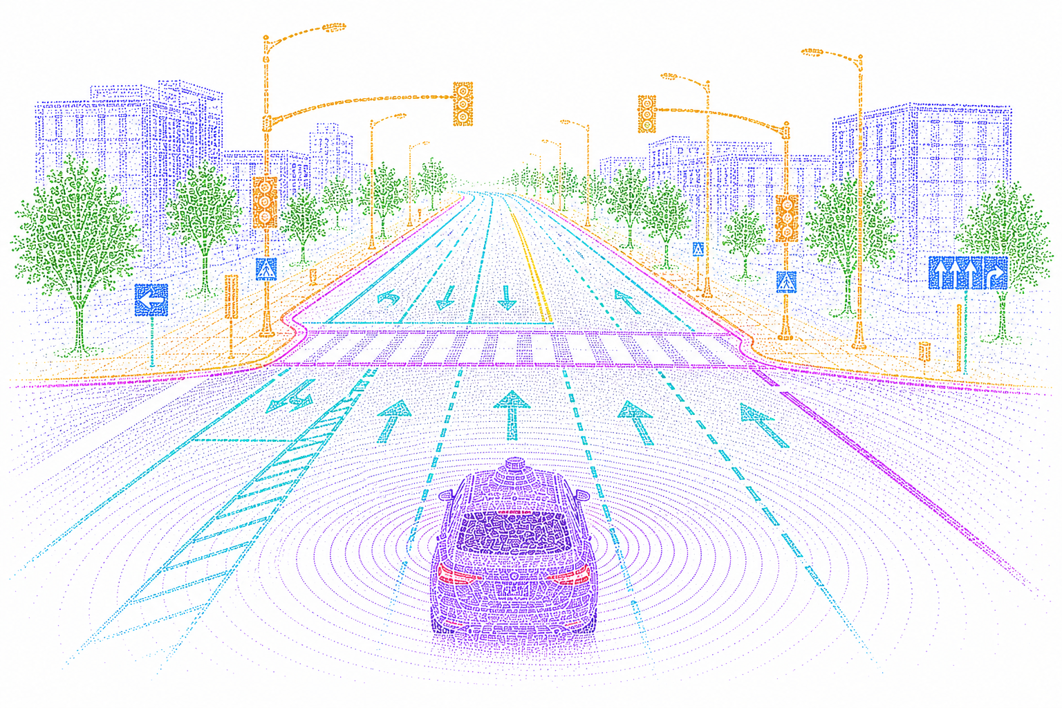
Annotating lanes and road markings in LiDAR data is crucial for developing advanced driver assistance systems (ADAS) and autonomous driving technologies.

Applications:
  • Self-driving cars
  • Road safety analysis
  • Traffic management
Vegetation and Terrain Mapping
05

Vegetation & Terrain Mapping

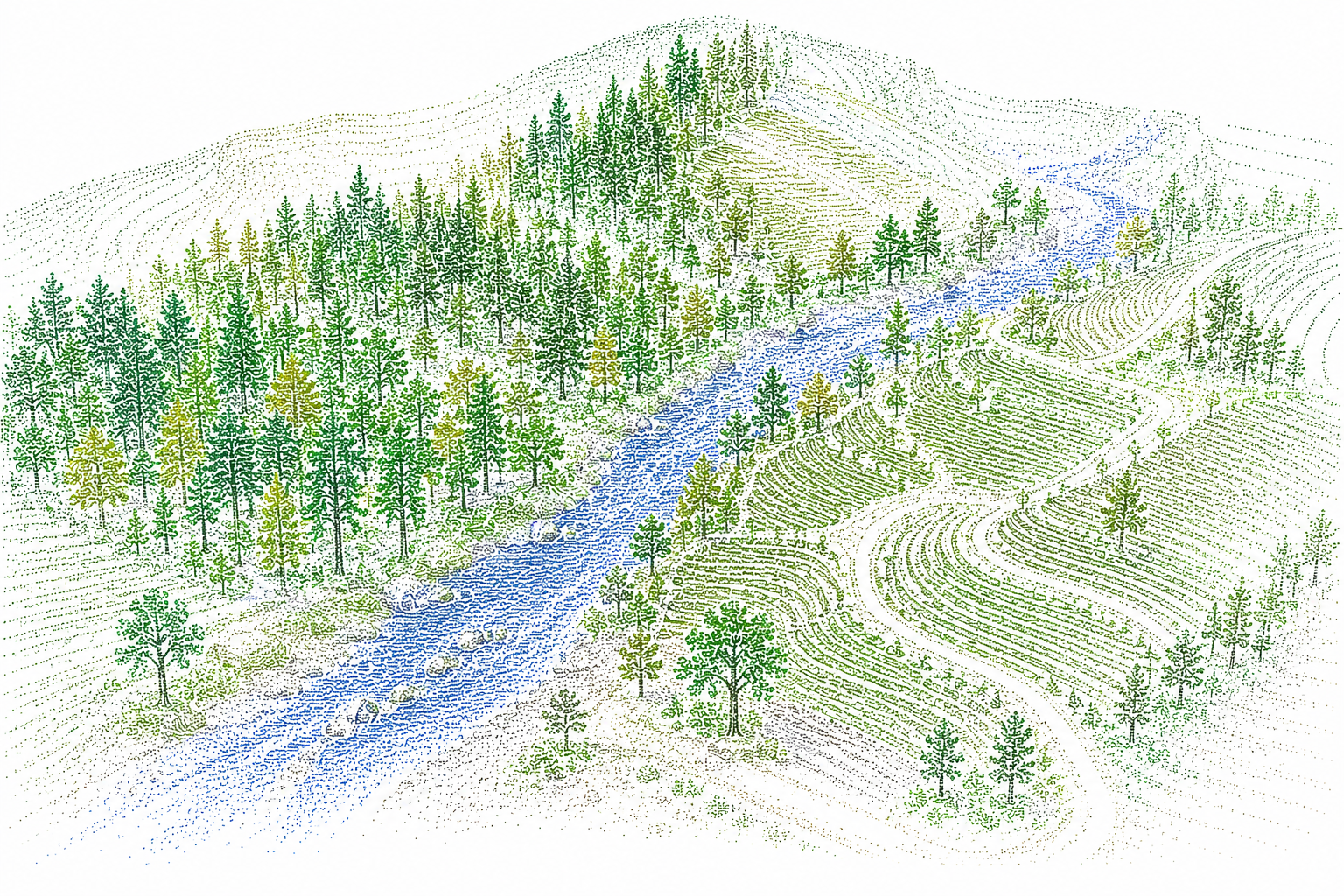
LiDAR annotation for vegetation and terrain involves identifying and categorizing natural features such as trees, bushes, and ground surfaces.

Applications:
  • Forestry management
  • Agricultural planning
  • Disaster response
Building and Infrastructure Annotation
06

Building & Infrastructure

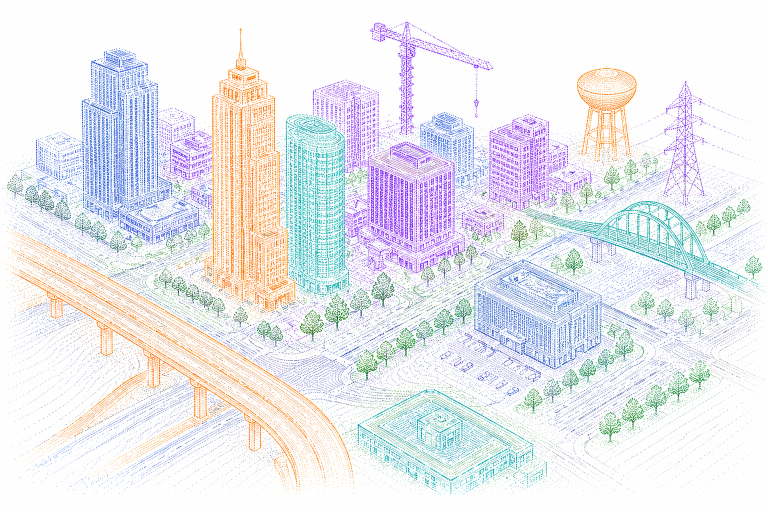
Annotating buildings and infrastructure within LiDAR data helps in urban planning and construction projects by providing detailed information about existing structures.

Applications:
  • Urban development
  • Construction planning
  • Real estate analysis
Change Detection
07

Change Detection

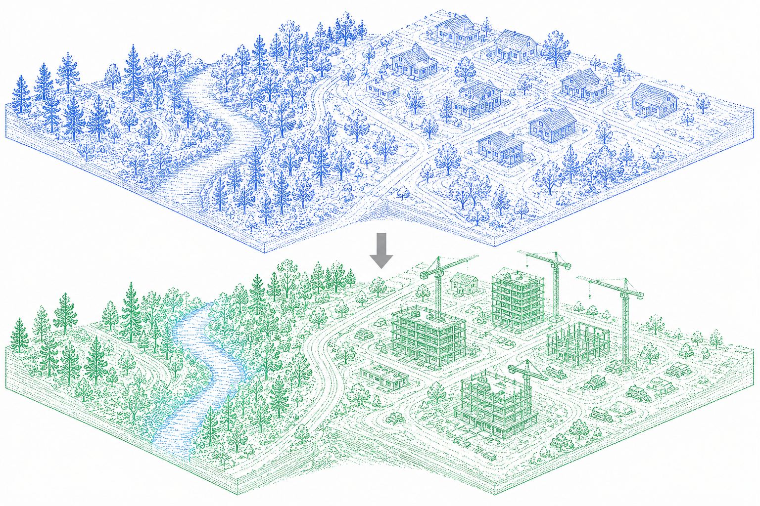
Change detection involves comparing LiDAR data from different time periods to identify changes in the environment, such as construction progress or deforestation.

Applications:
  • Environmental monitoring
  • Construction progress tracking
  • Disaster assessment
Keypoint Annotation
08

Keypoint Annotation

Keypoint annotation in LiDAR data involves marking specific points of interest within the point cloud, such as feature points on objects or distinct terrain markers.

Applications:
  • Robotics navigation
  • Feature extraction
  • Geospatial analysis

Industries Using
3D Point Cloud & LiDAR Annotation

Autonomous Vehicles

LiDAR annotation helps autonomous vehicles accurately detect, classify, and track objects such as vehicles, pedestrians, traffic signs, and road infrastructure, enabling safer and more reliable navigation.

Agriculture

In precision agriculture, LiDAR data is used to analyze terrain, monitor crop health, and optimize irrigation and fertilizer usage. Accurate annotation helps AI systems deliver actionable insights that improve productivity.

Government & Public Sector

Government agencies use LiDAR technology for mapping, infrastructure planning, disaster management, urban development, and security applications. Annotated point cloud data supports accurate analysis and decision-making.

Robotics & Automation

Robotic systems rely on annotated 3D data to understand their surroundings, navigate complex environments, and perform tasks with greater accuracy and efficiency in both industrial and commercial settings.

Geospatial & Mapping

LiDAR annotation enables the creation of highly accurate 3D maps and digital terrain models used in surveying, geographic information systems (GIS), construction planning, and smart city development.

Construction & Infrastructure

Annotated point cloud data helps monitor construction progress, inspect infrastructure, and create detailed digital twins for planning, maintenance purposes, and structural integrity assessments.

3D Point Cloud & LiDAR
Annotation Process

Eyeverse experts work closely with your team to develop a customized end-to-end LiDAR annotation workflow that delivers accurate, scalable, and AI-ready 3D datasets.

01

Discovery & Consultation

Understand project objectives, data requirements, and AI use cases to create a tailored annotation strategy and delivery plan.

02

Team Preparation & Training

Assign skilled annotation specialists and provide project-specific training, domain expertise, and quality guidelines to ensure consistent results.

03

Workflow Design & Customization

Configure annotation tools, labeling standards, and quality assurance processes to align with your project requirements and milestones.

04

Annotation & Continuous Feedback

Perform precise 3D point cloud annotation while leveraging real-time monitoring, analytics, and feedback loops to improve accuracy and efficiency.

05

Quality Evaluation & Delivery

Conduct comprehensive quality checks, validate key performance metrics, and deliver production-ready datasets optimized for AI and machine learning applications.

Mobility Solutions

Autonomous Vehicle &
Mobility Solutions

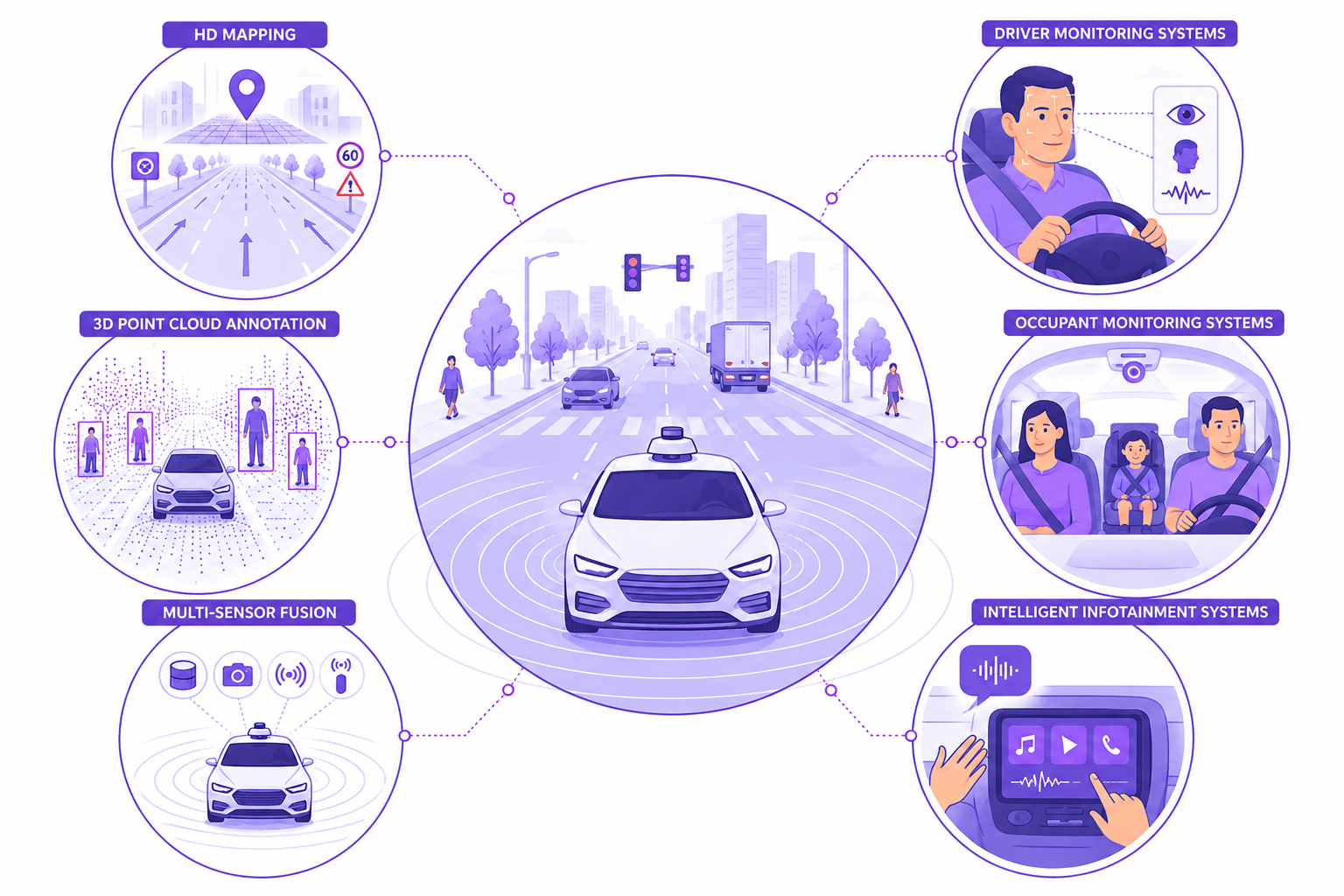
Eyeverse delivers high-quality annotation and data services that power next-generation autonomous systems, intelligent mobility platforms, and advanced driver assistance technologies.

Autonomous Vehicle Solutions

HD Mapping

Create and validate high-definition maps through precise annotation of roads, lane markings, traffic signs, and infrastructure. These provide the spatial intelligence required for safe navigation.

3D Point Cloud Annotation

Our experts accurately label LiDAR point cloud data to support object detection, segmentation, tracking, and depth estimation in complex real-world environments.

Multi-Sensor Fusion

Eyeverse specializes in synchronizing and annotating data from LiDAR, cameras, radar, and other sensors, enabling AI models to gain a comprehensive understanding of their surroundings.

Driver Monitoring Systems

Train intelligent driver monitoring solutions with precise annotation of facial expressions, eye gaze, head movements, and hand positions to detect distraction and unsafe behavior.

Occupant Monitoring Systems

Develop smarter in-cabin safety and comfort features through detailed annotation of passenger posture, seat occupancy, body movements, and child presence detection.

Intelligent Infotainment

Enhance in-vehicle user experiences by annotating voice commands, gestures, touch interactions, and user behaviors that power next-generation infotainment and HMI systems.

Ready to Transform Your LiDAR Data into
Actionable Intelligence?

The demand for high-quality LiDAR annotation continues to grow as autonomous systems become more advanced. Eyeverse combines skilled annotation specialists, advanced tooling, and rigorous quality assurance processes to deliver accurate, scalable, and production-ready 3D datasets that accelerate AI development and deployment.